Seems oddly appropriate that today volunteers from the Forest Archaeology Group spent several hours learning to and surveying artefacts in the landscape on the longest day of the year. We began with the war memorial to the twins McKirdy on Colintraive beach, taking innumerable photos of the tall, cruciform monument to their sacrifice during the first world war, and then with the ACCORD team producing a 3D model of the artefact using the PhotoScan software from AgriSoft. This process was extraordinary and we’ll post some pictures tomorrow of the result.

We then went up to the chambered cairn in Stronafian Forest and watched while the Archaeology team set-up a four point laser survey of the cairn. More of this tomorrow too!
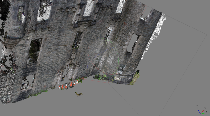
So inspired was I that on returning from the day, I downloaded the software and tried my hand on the exterior frontage of the castle. The result is the main image above, and the movie below:
And while I waited for the software to render the 3D image, I found this excellent article by Will Self on Stonehenge, Landscape archaeology and heritage – almost written for the purpose of underlining all the discussions we’d had today with Mhairi, Al and Stuart. More info on the overall ACCORD project is here.
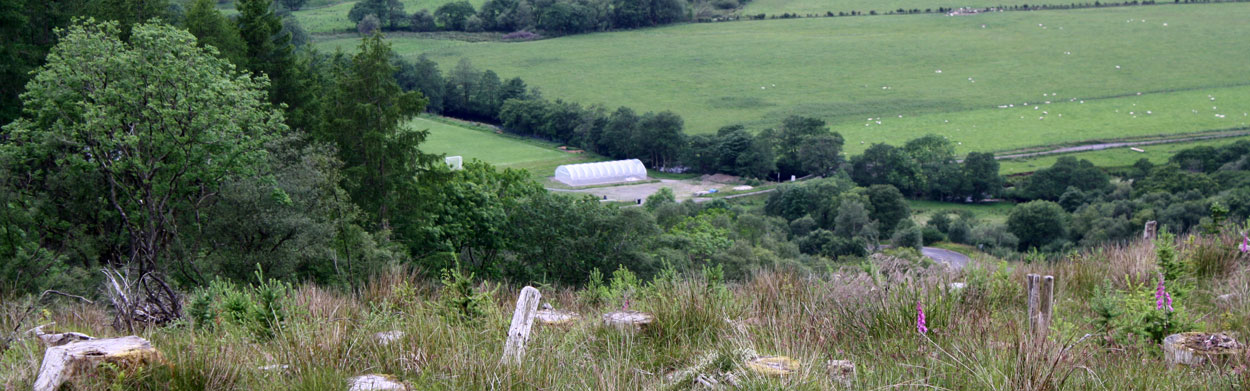
As a bonus, here’s an almost aerial pic of the Glendaruel polytunnel taken from the Cairn.